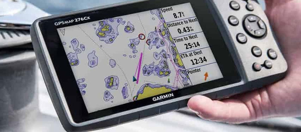
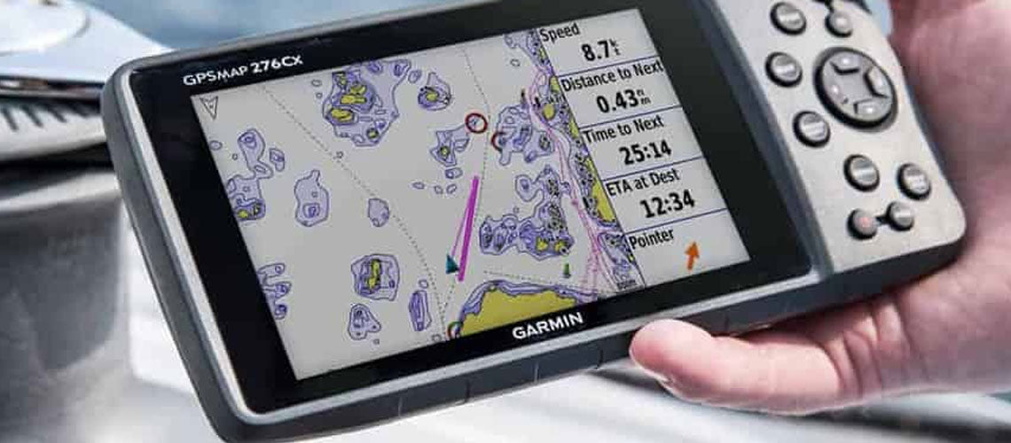
Even though using paper charts makes you look like an expert old sailor, the truth is that in modern boating, chartplotters are one of the most important pieces of equipment aboard. These chartplotters have surpassed by far their paper counterparts by many reasons, the most important one being that it will always know where you are, even though you are completely lost in the middle of nowhere.
Each chartplotter is different, with diverse features and benefits. There are many leaders in the field (Garmin, B&G, Raymarine, Simrad, and more). For instance, to select the right one for your boat you should consider more factors than just cost. In this tech article, we will help you to make this job of choosing the right chartplotter as easy as possible, considering both your needs and your boat layout.
What is a chartplotter?
A Chartplotters is a marine navigation device that combines GPS data with electronic navigational charts (ENC). Generally, you simply download these charts from your computer onto the device. Maps are simply an interface to make it easier for humans to use the GPS. With the chartplotter, you can store hundreds of waypoints, which together make up a route.
Most basic chartplotter show your location and the direction you are heading (different than the direction you are pointing), while modern chartplotters act as multifunctional displays (MFD) where also radars, fishfinders and NMEA2000 network data can be displayed.
What is the difference between a Chartplotter and a GPS?
A GPS is a big network of satellites around the world that transmit positional location information to the receiver. It calculates the longitude and latitude coordinates of your boat, but shows them in a number reading instead of in a map (27° 22' 50.10" N 33° 37' 54.62" E).
On the other hand, Chartplotters are simple systems that show charts and plot objects on that map. It takes the GPS location and places it on top of the map. That's why all chartplotters use GPS, but not all GPS are chartplotters.
To make it simple, Waze and Google Maps are chartplotters, but the technology inside your phone to calculate your position for those apps is a GPS.
Types of Chartplotters
We can differentiate 3 types of chartplotters:
- Handheld chartplotters: easy to use and cheap. They are also small with little screens that depending on the user, can be pretty hard to read.
- Mounted chartplotters: a bit bigger and with more features. You can store routes and display additional information.
- MFDs: much bigger and with more functionality, therefore, cost is also much higher. Advanced systems allow you to monitor fuel, temperature, AIS, use sonar to show depth, fishes, weather report overlay, alarm functions for route deviation, anchoring drift, and more.
What should I consider when choosing a Chartplotter?
-
Screen size
Deciding between different screen sizes is not only a matter of helm fit, but also eyesight confort, even more important if you are carrying more than just sunglasses around your neck. Bigger is better for touchscreens nowadays, but you also need to consider that screen size (measured like TVs, in diagonal length) and price tend to go up exponentially in these electronic devices.
Usually, 6”-7” screens are just fine for most of the vessels if you need to split screen or zoom in. If you stand more than 6-feet away from the chartplotter, then you should consider at least 9” screens since you will not only add distance between you and the device, but also data boxes such as depth, heading and others to the display. -
Location
Two of the main factors to consider when choosing a chartplotters is how and where it is going to be located and used. As small boats don't have much console space, some features that are needed to be connected by inputs such as radar, video, and more, won't be used. Also, remember always to allow additional space for cable routing. You can make a template matching the size of the chartplotter you are looking for so you can get an idea of the dimensions and look for a suitable place for the new device. -
Transducer
Chartplotters often include fishfinders features. For this purpose, the power and size of the transducer will determine how deep you will be able to look. For many applications, 200’ is more than enough. However, boats in deeper waters will need much more power to see what is waiting below. To make sure you will truly see in deeper water, you should look for a focused beam on the transducer. A larger transducer crystal will guarantee deeper penetration. -
Features
There are many functions you would love to add to your chartplotter, but you need to take into account that many of them are displayed simultaneously on the charts. For instance, if you are looking to have several data displayed, you can do this in split screen mode. However, to be able to read clearly all this information, you will need to have a display size that matches your needs. In the case of handheld chartplotters, you will have many basic functions such as preloaded charts in a compact package, but some others will not (fishing features for example).
Some of the basics you should have are: navigation routes, waypoints, tracks, speed, depth, wind, AIS, VHF compatibility and pilot control. -
Power supply
For sailing boats, power supply is always an important issue. Choosing where the power goes is crucial when there are many electronic devices on board. You need to consider that larger displays obviously consume more power than smaller ones. Also, you need to take into account that if your networking system uses Ethernet, chartplotters that will be connected to the radar antenna will always need to be switched on in order to work. As an alternative, Ethernet HUBs are used to save power here.
Which Chartplotter should I buy?
We carry different types of Chartplotters for each sailing style from different manufacturers such as B&G, Garmin, Raymarine and Simrad. All these are considered top brands, with high-quality devices, however, there are certain differences that you should consider before getting any of them.
B&G:
These chartplotters are highly recommended for sailing purposes since they carry sailing software that allows you to plan sailing routes including tacks using laylines, display an imaginary start line and race timer, and more special regatta functions. The Vulcan series is a good way to have most of the sailing features for someone who is just starting with chartplotters, while Zeus carry more powerful tools that adapt functionality from big ocean regattas such as the Volvo to your boat.
Garmin:
Livescope is universally more accepted than any other live scanning sonar for its high resolution. Garmin is also considered as a fishing brand as these chartplotters often have an integrated fishfinder module that allows fishfinder data to be displayed directly on the chartplotter. You can find affordable chartplotters from Garmin with basic functions in the Echomap series here
Raymarine:
It also has chartplotters with integrated fishfinder that are just good, however, Axiom charts are specially designed for sailboats. You can get huge screens from the top models of the Axiom XL series, or go with a more basic and simple “all you need” chartplotter like the Axiom+ 7 with charts included.
Simrad:
Livesight sonar is good for fishing and sailing purposes. Today, this brand also has the best solid state radar domes. Touch screens from Simrad chartplotters are bigger in average than other brands and very dynamic too. A good entry into the world of chartplotters at an affordable price is the Cruise Series.


